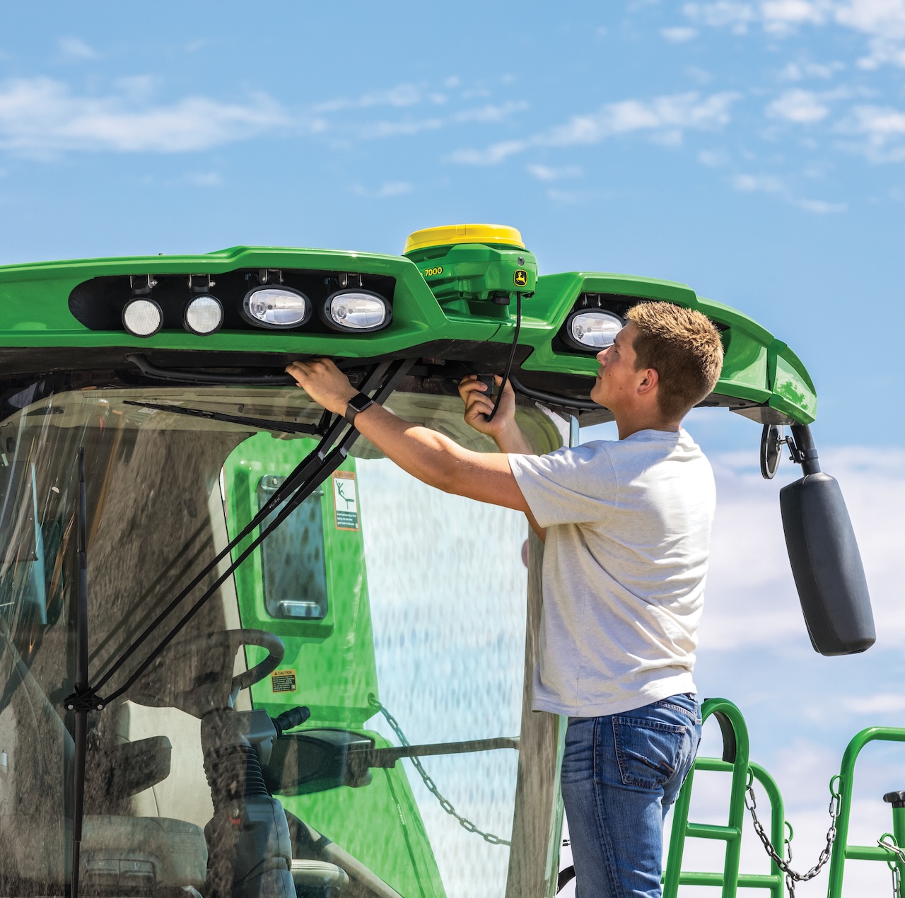
One of the foundations of modern agriculture is GPS positioning. Perhaps one of the most important and easiest steps we can take towards effective precision farming is to employ machines with automatic steering, as this allows us to enjoy the monetizable benefits of GPS positioning almost immediately. KITE's RTK (Real Time Kinematic) system provides the user with an accuracy of +/- 2.5 centimeters (repeatable in time), thereby opening the door to precision technologies. All systems operating under our RTK network are installed by our experts with on-site training provided to our partners.

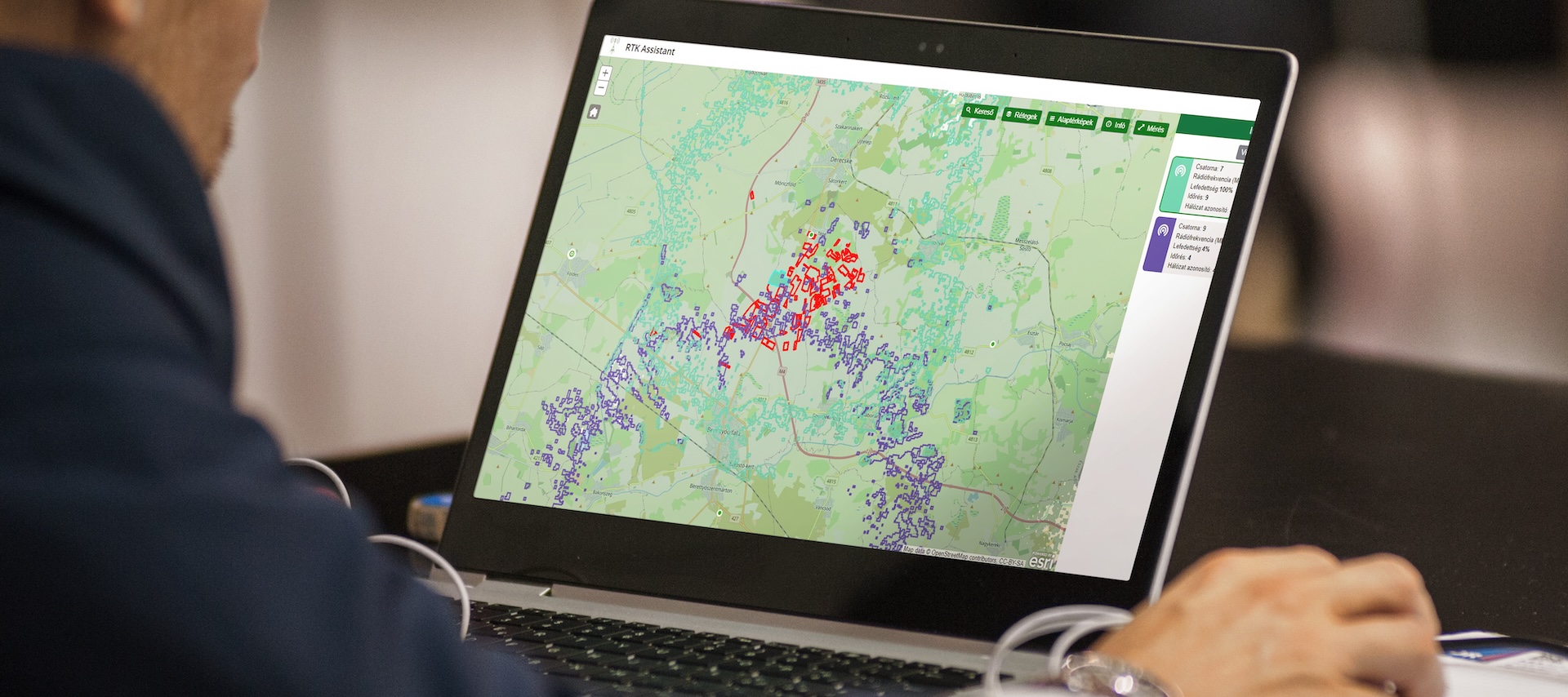
On our web-based platform, you can track the network coverage with the data of the system’s over five hundred stations. By selecting specific stations, the column next to the map will display various information about the status of the relevant station, ranging from latitude and longitude data, the number of detected satellites, to the frequency of the signal used.
It is also possible to change the base map behind the stations to make it as easy to use as possible and for a personalized display. In the field search window, it is possible to query the RTK coverage status of a selected field.
After selecting a field, its boundary will be displayed, and clicking on the Base analyzer will show which station has the best coverage on the field with a percentage display, thereby helping you to find your way around and to select the station with the best signal. These functions help you to set up the GPS receiver of your tractor more easily.


Based on the coverage percentage of each station, it is easy to select the most suitable station for the field.
The data items that are required for setting purposes are displayed highlighted by clicking on the various bases.
This app is also available on your mobile, so you always have your settings at hand.